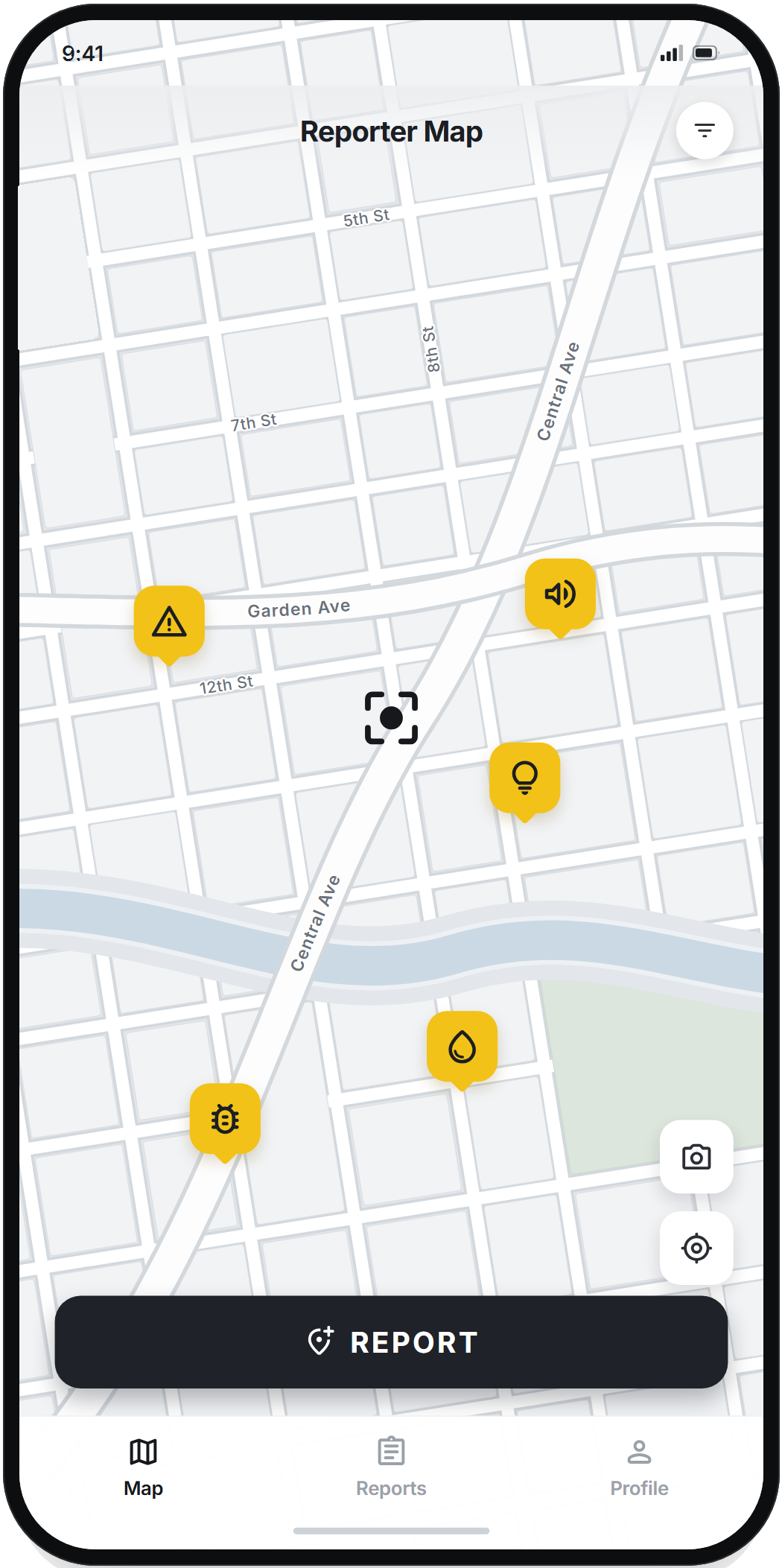
Take a photo, pin the location, and you're done: the report appears on your area's map for neighbors to see and follow.
0 reports created by neighbors like you
Take a photo of the problem, pick the category, and confirm the location.
The report is added to your area's map, visible to people nearby.
Neighbors confirm whether the problem is still there or not.
Report problems without identifying yourself. Neighbors see the photo, the category, and the location — never who sent it. We only collect what the map needs to work, and we never save your exact location.
If you turn on notifications for reports near home, we only keep the general area of your address — never the exact spot.
Creating an account is optional. You can open the app and use it without giving your name, email, or phone number.
Delete a report whenever you want. Your data is never sold or used for ads.
From potholes to abandoned animals, each report gets its own category — that keeps the map organized and easy to understand.
Free, anonymous, and available for Android and iPhone.